Gorge Waterway - Upper
View Royal, British Columbia, Canada
 FAIL 10mpn (single) Sun, Jun 16, 2024 at 9:10pm
The Gorge Waterway (or simply “the Gorge”) is a narrow, six-kilometer long stretch of water that connects Upper Victoria Harbour to Portage Inlet. The waterway is a tidal estuary that includes intertidal mud flats, oysters and abundant eelgrass. It is also part of a migratory bird sanctuary and supports salmon and herring. Freshwater flows into Portage Inlet from Craigflower and Colquitz Creeks, both of which are important salmon streams. By the 1940s, historical pollution from sewage and industrial sources had significantly degraded the water quality in the Gorge. Clean-up efforts since the early 1990s have resulted in a notable improvement in water quality and an increased awareness of this important waterway. The Gorge is once again a popular spot for various recreational activities including kayaking, canoeing, rowing, dragon boating, paddle boarding and even swimming. While there are still some industrial activities along the Gorge, most of the waterway is lined with residential properties. There are several access points to the Gorge, including the Gorge Waterway Park and the Galloping Goose Regional Trail at the Selkirk Trestle.
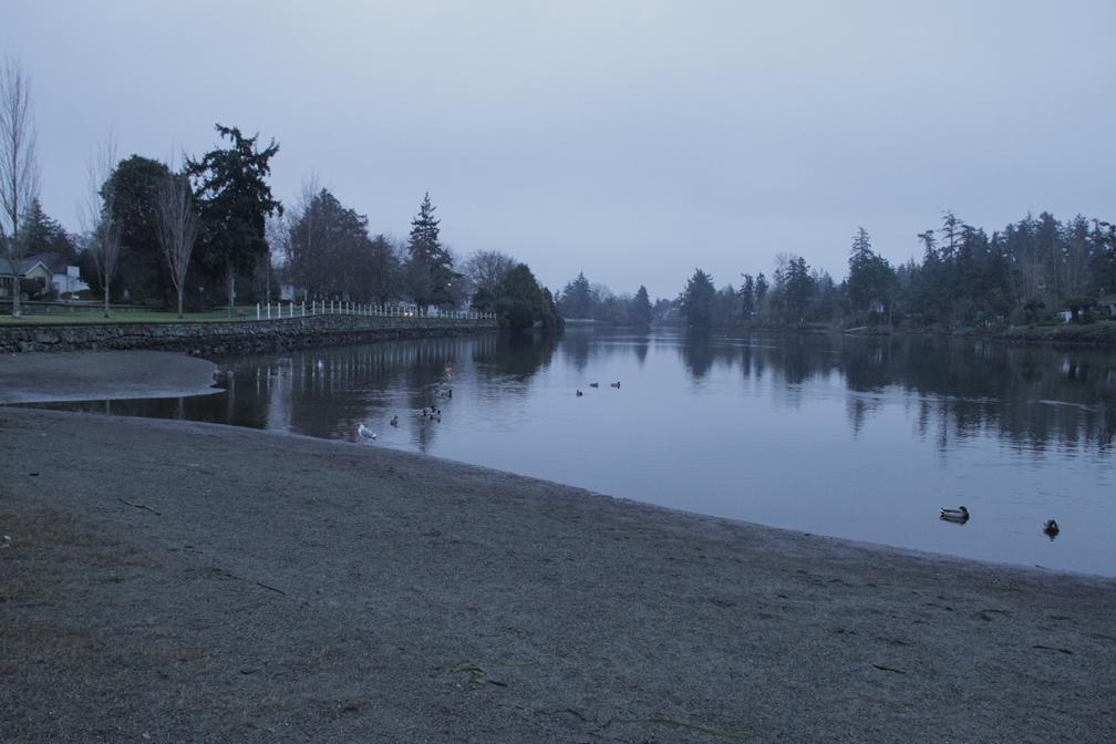
The Upper Gorge (Portage Inlet) sampling location is a small beach at the Craigflower-Kosapsom Park, near the Admirals Road Bridge at Gorge Road West.
The description above was copied from or heavily based on Swim Guide, with permission.
Features
- Monitored Water Quality
More Information
- Swim Guide - Weather and water quality for Gorge Waterway - Upper and 8,000 other beaches.